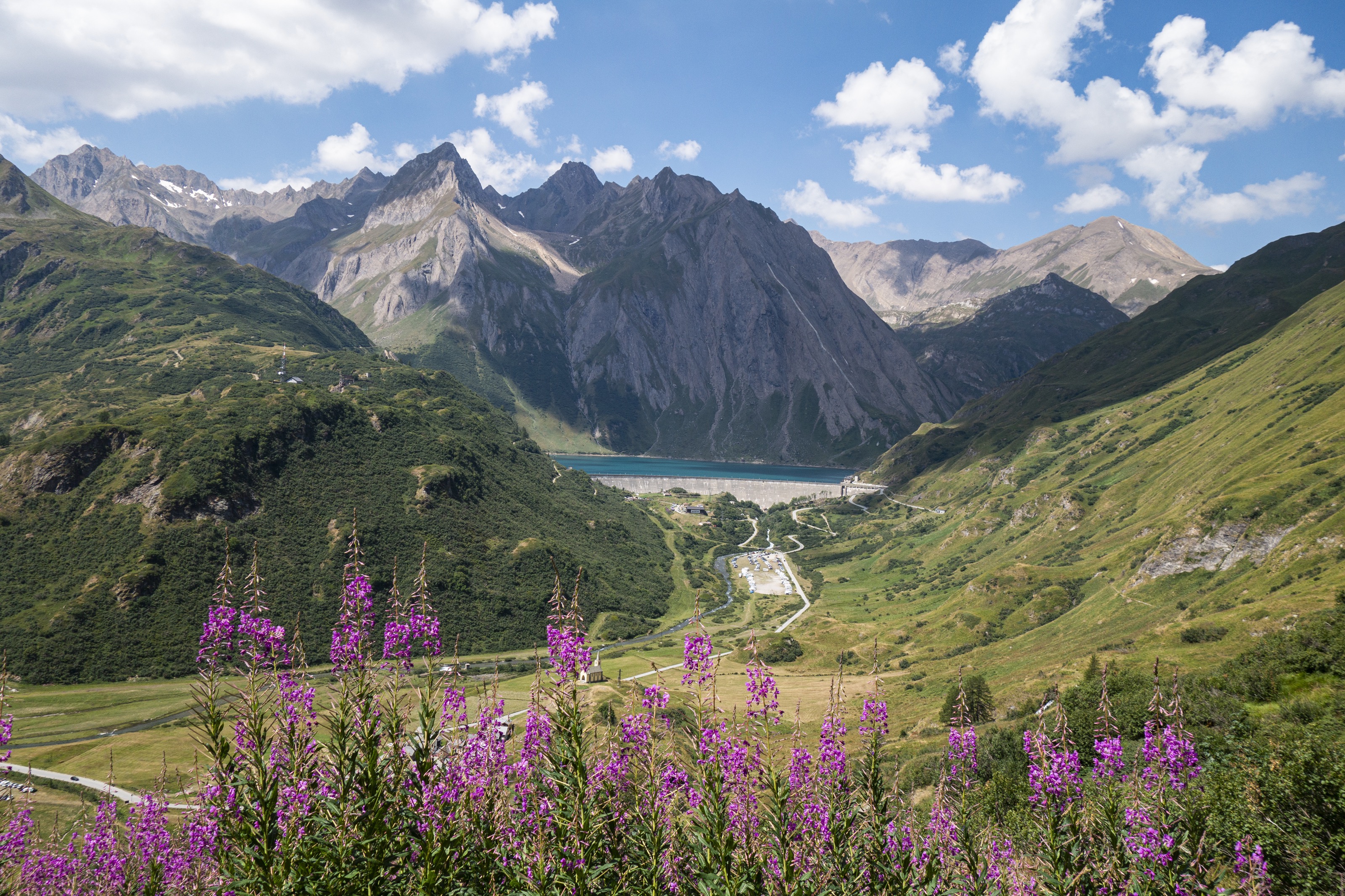
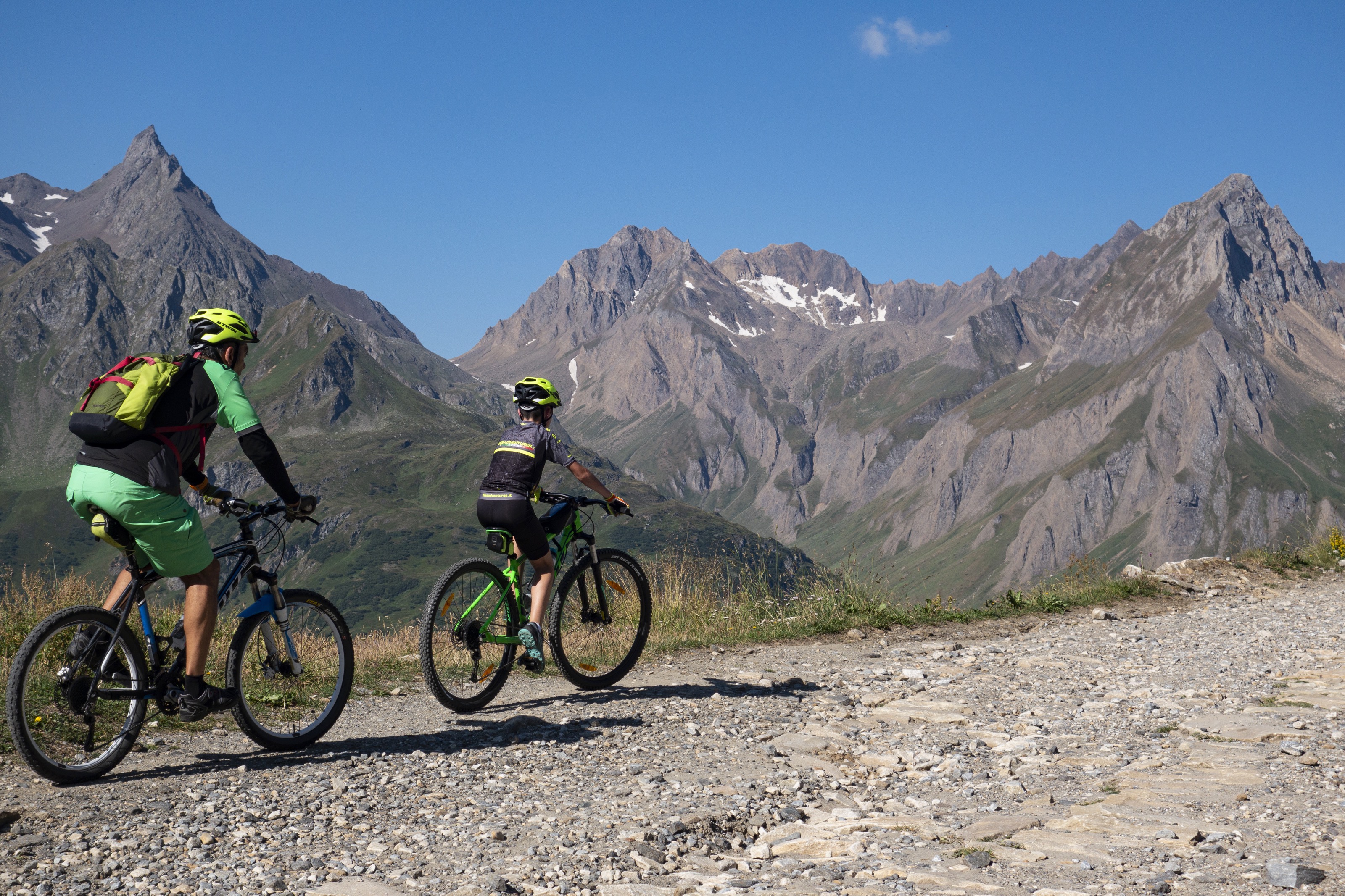
Beautiful hike straddling the border between Val Formazza and Val Bedretto across the San Giacomo Pass, the ancient "Mountain of Valdolgia," which, because of its easy access, was a crucial direct trade route between Milan, Gotthard, and the Grisons for centuries.
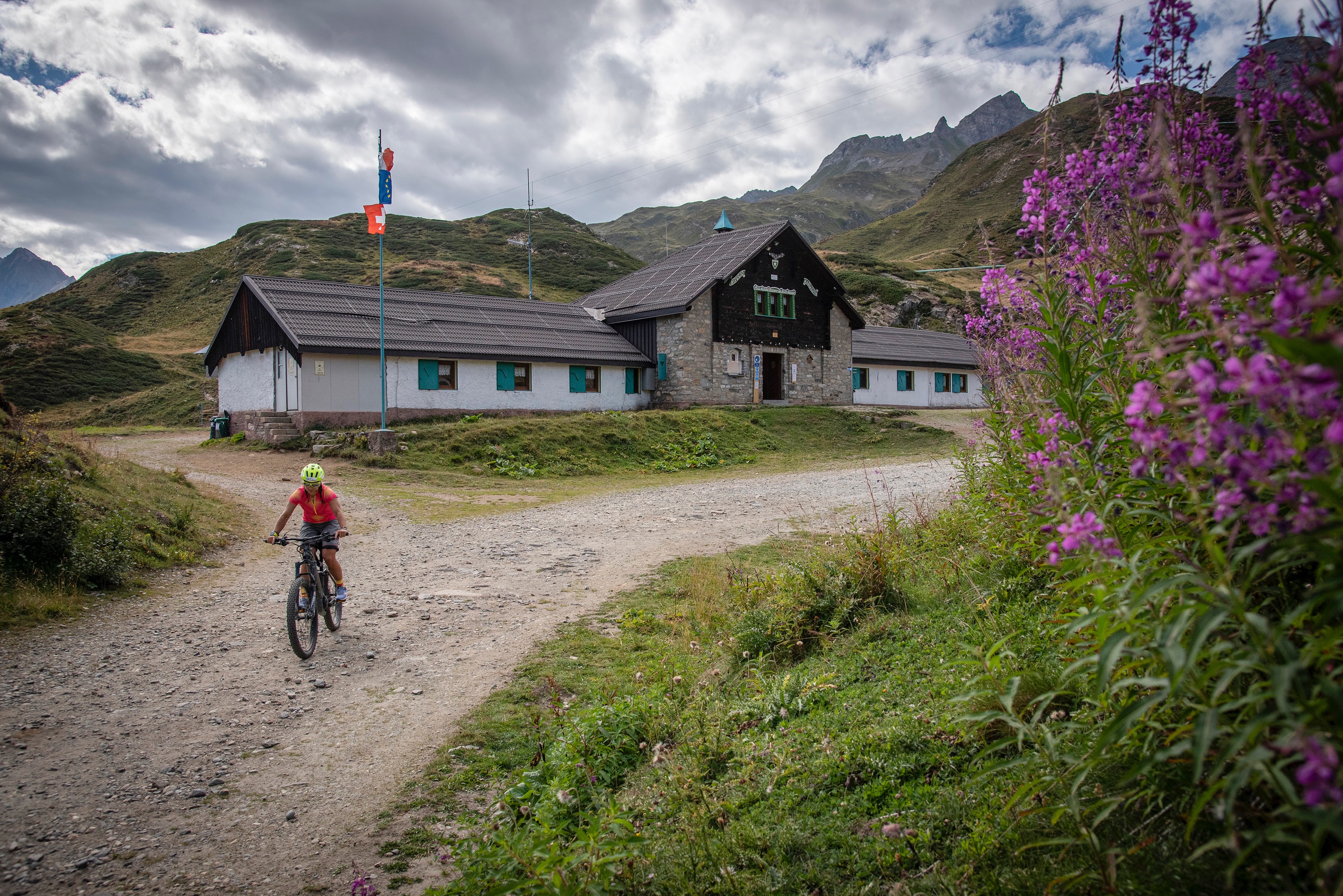
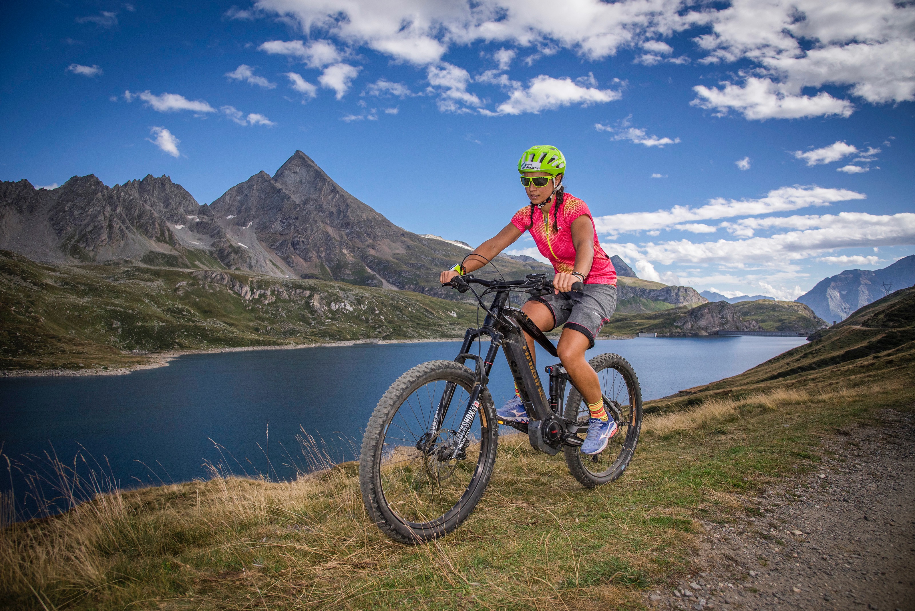
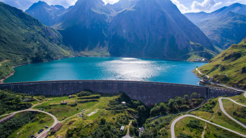
The route begins in Riale, in the upper Formazza Valley, at the Centro del Fondo (Aalts Dorf hotel). We cross the Toce River on the small bridge and begin to climb along the beautiful dirt road of the San Giacomo Pass, built in the 1920s to serve the construction of the Toggia and Castel dams: the road is a true masterpiece, with low gradients and hairpin bends with perfect lines. At the end of the hairpin turns and the uphill section, the Maria Luisa Refuge is reached, then the Toggia Lake Dam. From here, the road continues at a very weak gradient, skirting the entire lake on a midslope. Ignoring the fork for Alpe Regina, where Bettelmatt cheese is produced, we continue until reaching Passo San Giacomo, where the dirt road ends. Another hundred meters or so uphill, and we reach the cross from which we can look out over the Bedretto Valley and the Gotthard area.
In the attached: the complete description of the route, the map and GPX track.