HISTORIC MOUNTAIN ROADS: From Toce Waterfall to Passo San Giacomo

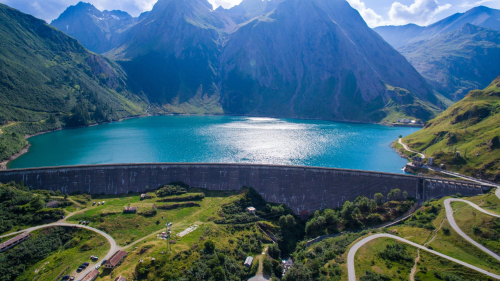
Built starting from 1929 to realise the dams of Lago Castel and Lago Toggia in Alta Val Formazza, in the extreme north of Piedmont, the road unites the famous Cascata del Toce to Passo San Giacomo, passing through the hamlet of Riale and connecting Italy with Ticino Switzerland. The first section of the route which starts from Cascata del Toce (1685 m asl) and arrives at the hamlet of Riale below, covers a long, asphateded section on State Road 659.
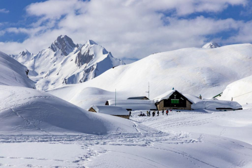
Shortly before reaching the hamlet of Riale (1740 m asl) the road branches off and the dirt road begins, which leads to the Maria Luisa mountain hut (2160 m asl), then continues to Lago Toggia and reaches Passo San Giacomo (2313 m asl).
It is in this section that the route becomes a true masterpiece with gentle gradients and perfect hairpin bends, flanked by dry stone walls and arches from which unique photos can be taken of the Riale plain and the peaks of Alta Formazza.
Once this first uphill section is over, the road continues on a false plain crossing the Alpe Toggia basin, reaching the Maria Luisa mountain hut and along the dam of Lago Toggia. Continuing slightly uphill, the road leads to Passo San Giacomo from which there is a beautiful view over Val Bedretto (Switzerland).
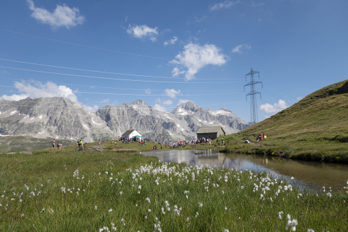
As early as 1885, there was already a small Swiss hut at Passo San Giacomo, which housed the telegraphists who transmitted the situation of the Alta Val Formazza to the Fort of Airolo (Switzerland). Following the construction of the road for the Italian side of Passo San Giacomo, new fortifications were built in the 1930s in Val Bedretto which became the heart of the defence system of this pass: the artillery fort “Grandinagia” and the armoured fortress “San Giacomo”; machine gun stations and artillery camps, shelters and cableways for logistics and supply of the main forts.
Today, the road is passable on foot and by mountain bike, and in winter with snowshoes and alpine skis (always check the avalanche bulletin).
Points of interest
The symbol of Val Formazza is the Cascata del Toce, which is known as “the most beautiful and majestic of all Alpine waterfalls” thanks to a drop of 143 m. A visit to the village of Formazza is well worth it for its hamlets with the characteristic name of Titsch (local Walser language) in which to soak up the Walser atmosphere. Numerous routes depart from Cascata del Toce and from Riale for trekking and MTB enthusiasts. There is also the natural and tourist attraction of Premia Terme, which is a modern spa centre with internal/external pools with hot water and wellness area (www.premiaterme.com).
Nearby
Discover places, experiences and activities in nearby locations