The Quadrifoglio "Four-leaved clover" of Ameno - Indigo Ring
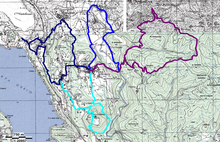
The ‘Four-leaved clover’ of Ameno consists of four circular trails covering a total of 33.6 kms with a total elevation gain of 1,215 meters. The lowest alttude is 324 metres and the highest is 791 metres. The average walking time of the 4 trails is 12 hours and 90% can be covered by mountain bike or on horseback.
Indigo ring – sign-posted 3 o AI
Indigo is a symbol of spirituality and internal awakening. Those who favour indigo tend to rise above and look at situations with a critical and exacting eye.
DIDACTIC PATH
The Indigo Path is particularly interesting for naturalists thanks to the richness of the flora and fauna in the area. It is about 11 km long and you can easily reach it by car, bike, bus or walking. The didactic part is concentrated in the first kilometers. There are more than 15 billboards explaining the environment and the territory with images focussing on the related topics.
Download the presentation: WWF didactic path
Path:
Ameno\ Milanetto\ Tabarino\ Mirabello\ Cassano\ Cappella del Vago\ Cascinone \Alpe Marandino\ Sculera\ Tacchino\ Ameno
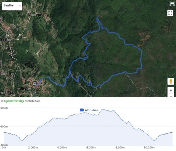
11.6 Km\4.30 hours, moderate difficulty
545 m elevation gain \791 m maximum height
Mountain bike accessibility 90%
Horse accessibility 80%
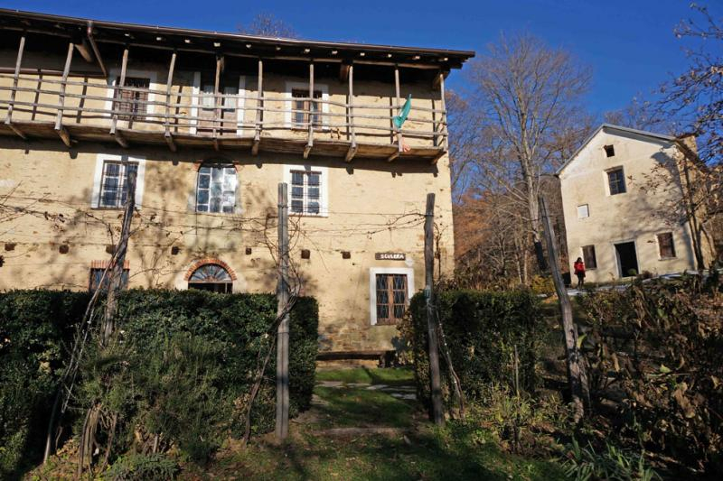
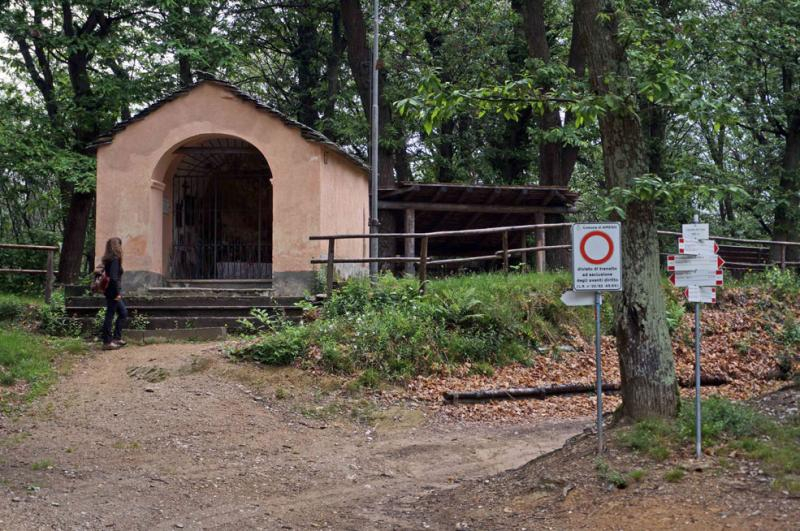
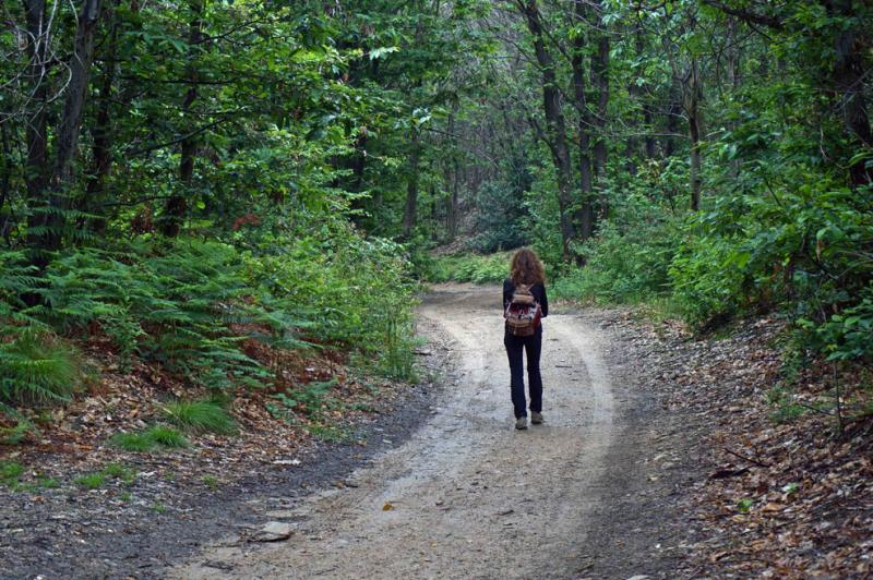
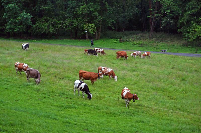
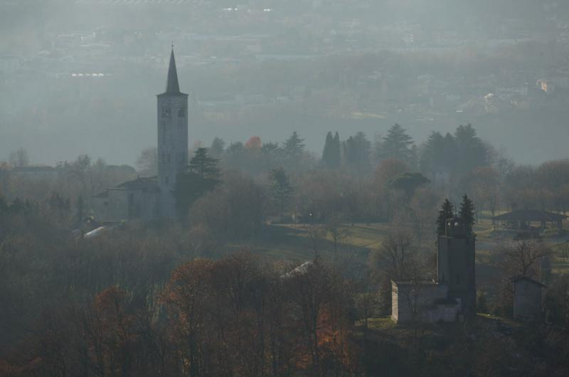
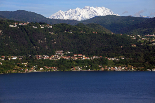
This is a demanding trail over on the other side of the Agogna river, passing through the woody mountains of Ameno and its ancient farmsteads. We leave the historic village centre behind us and walk through the outlying municipal villages of Milanetto, Tabarino, Mirabello and Cassano, effectively a balcony overlooking Ameno, Lake Orta and Monte Rosa. A little higher we can take a break at the wanderer’s chapel. Continuing on through the dense woods we arrive at the ruins of the Alpe Cascinone, where we can admire the centuries-old beech trees and then continue on through the Alpe Marandino meadow with views over the Mottarone, the Grigne and the Swiss Alps. We take a break at the little Church of Sant’Eurosia in Sculera and return to Ameno passing through Tacchino and again crossing the Agogna river.
45.788886057326, 8.4395277500153
45.788886057326, 8.4395277500153
Nearby
Discover places, experiences and activities in nearby locations
