Outdoor & Nature
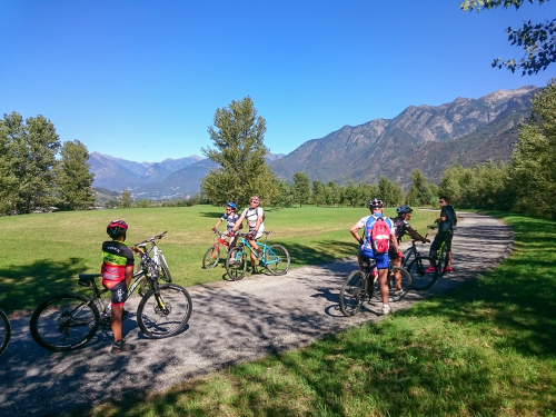
MTB ROUTE: Val Grande National Park - Alpe Parpinasca
Valli dell'Ossola
25,20 km
Length
952 m
Difference in altitude
1-3 hours
Duration
Average
Difficulty
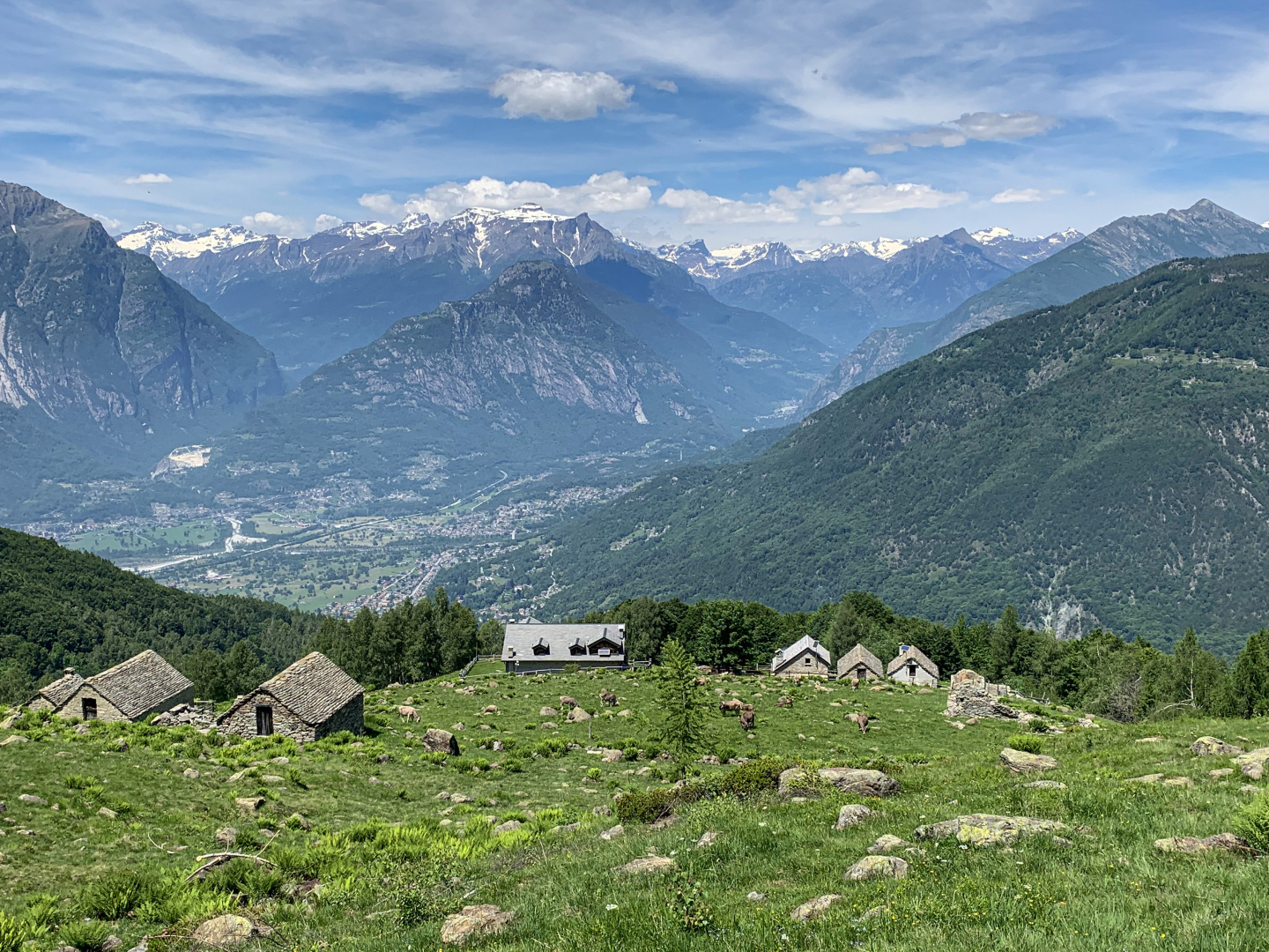
Pedaling through vineyards and mills, it is the classic out-of-town trip. This is how one can define the route from Domodossola to Alpe Parpinasca, where the refuge of the same name owned by the Val Grande National Park is located.
In the attached: the complete description of the route, the map and GPX track.
Light rain
6°
28845 - Domodossola (VB)
46.112679332335, 8.3067154884338
46.112679332335, 8.3067154884338
Nearby
Discover places, experiences and activities in nearby locations
