Outdoor & Nature
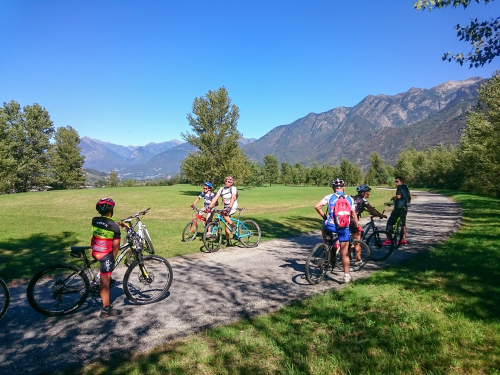
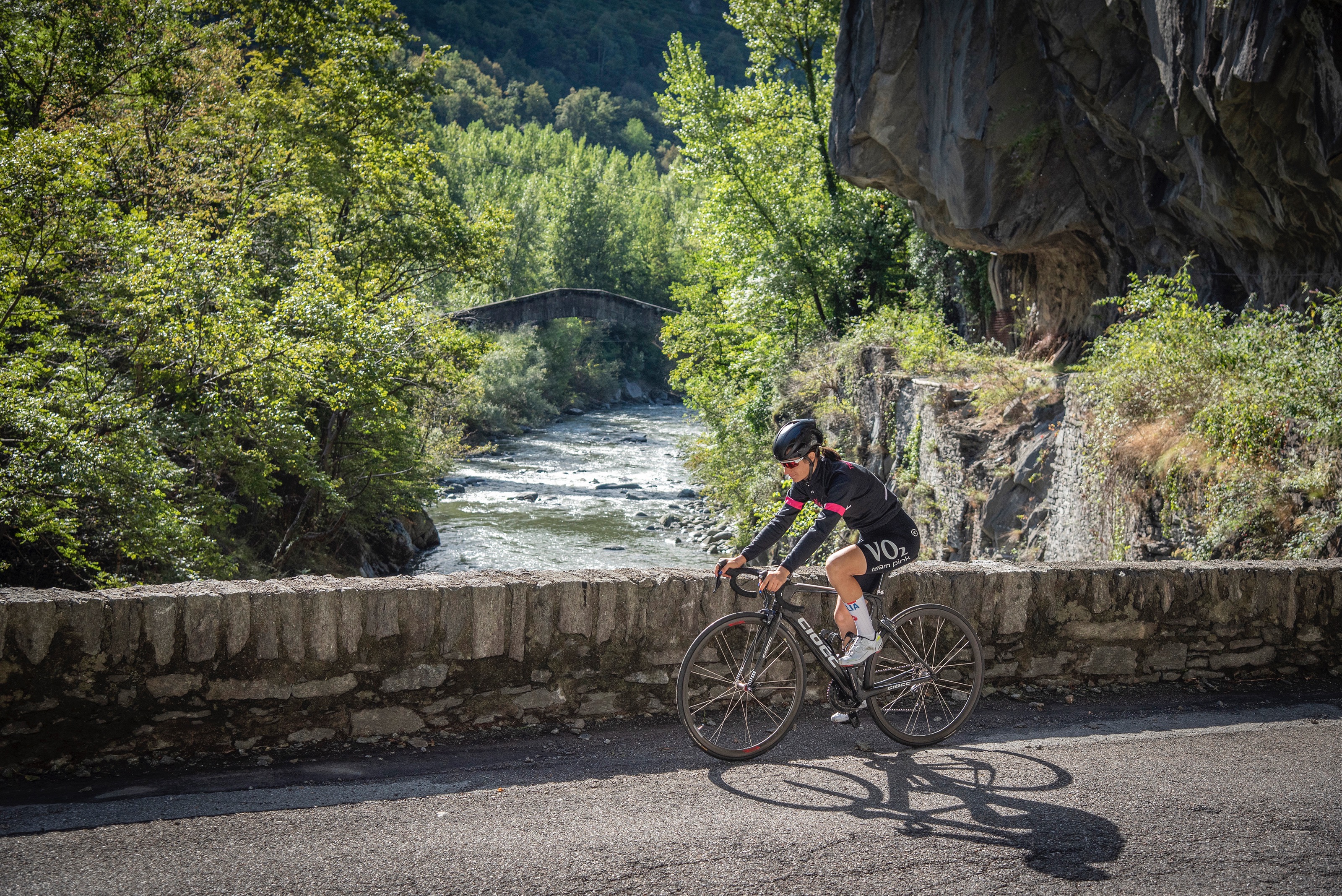
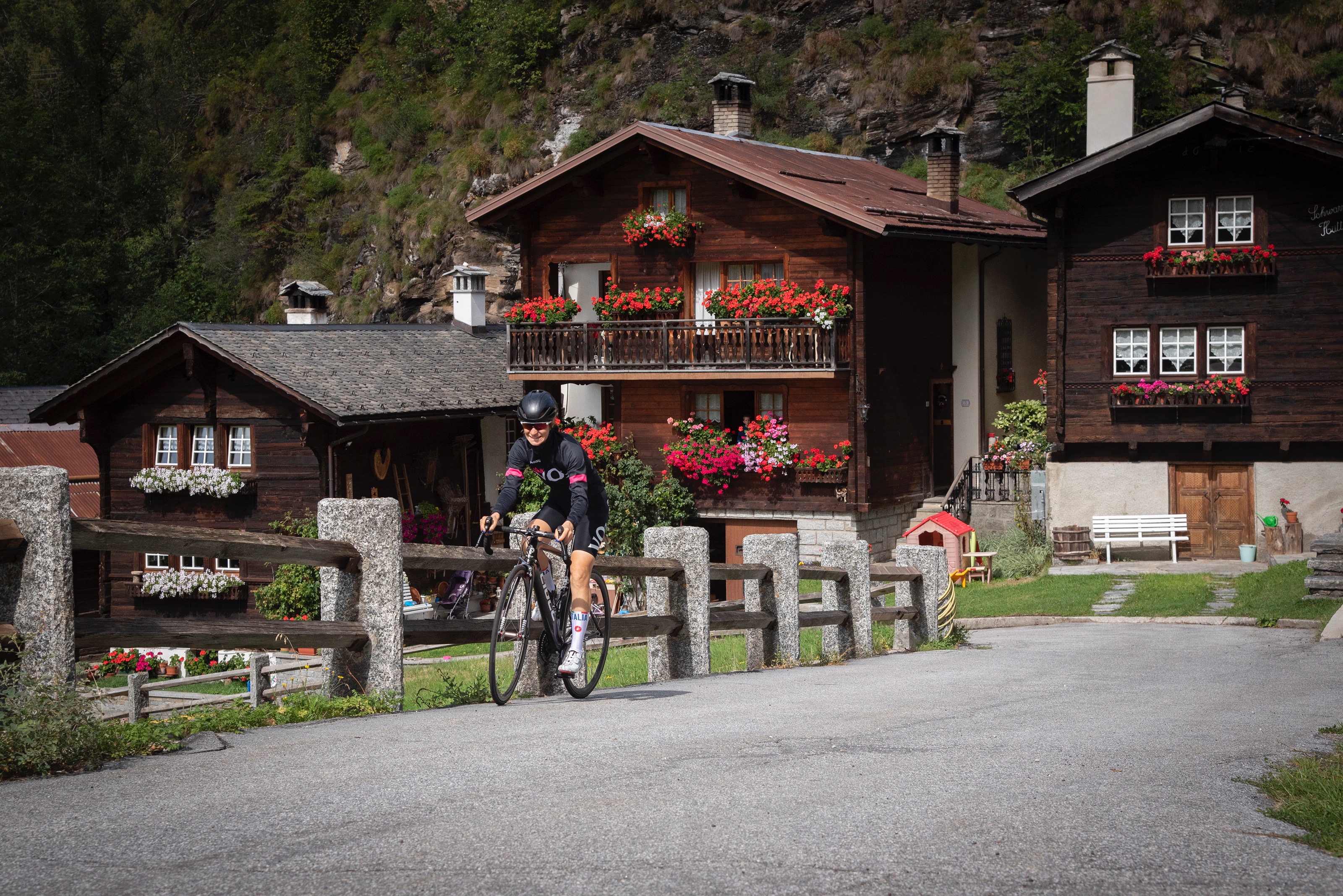
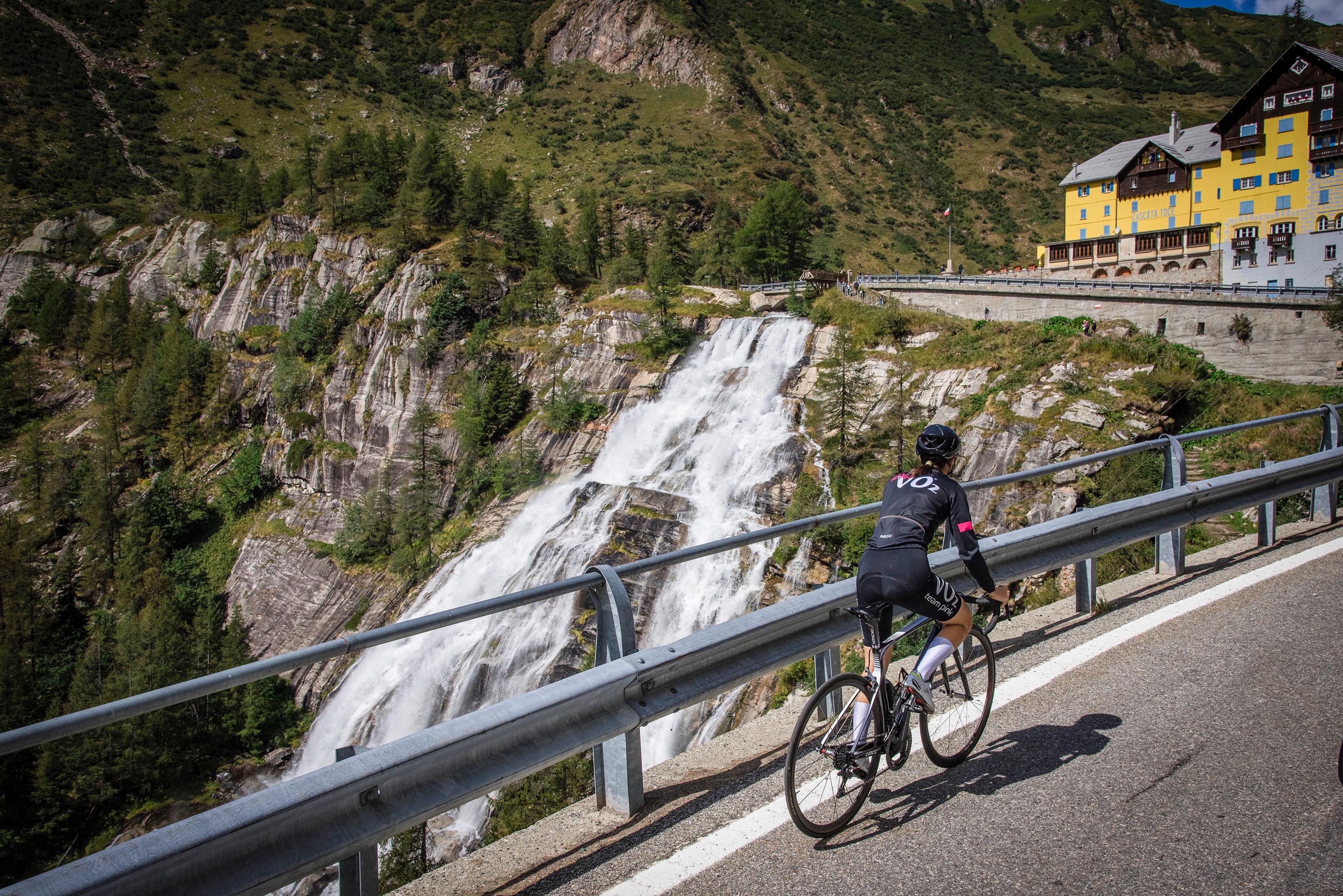
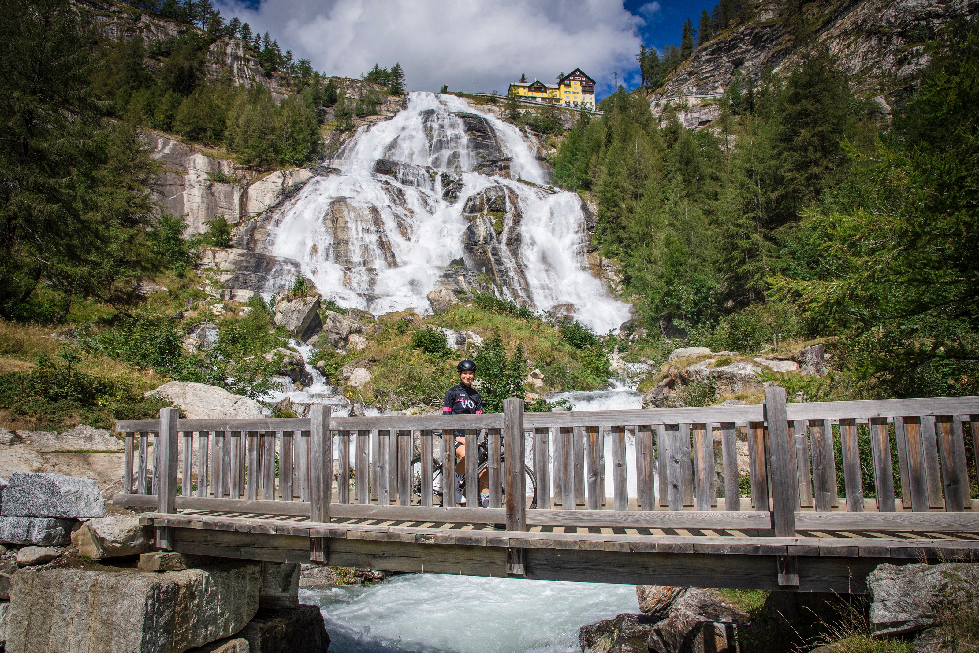
BIKE TOURING: Giro d’Italia - Domodossola/Cascata del Toce
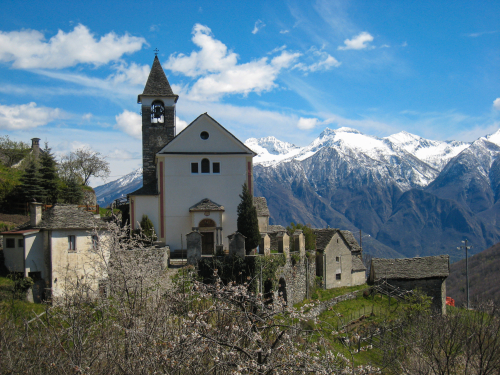
Valli dell'Ossola
Fair
26°
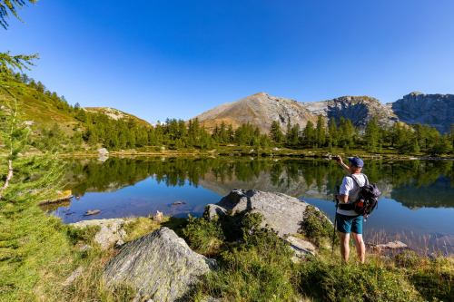
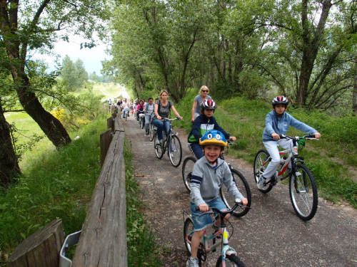
Nearby
Discover places, experiences and activities in nearby locations
Discover places, experiences and activities in nearby locations