BIKE TOURING: Montecrestese and Agarina Valley
Route to discover the ancient rural hamlets of Montecrestese and the wild Isorno Valley.
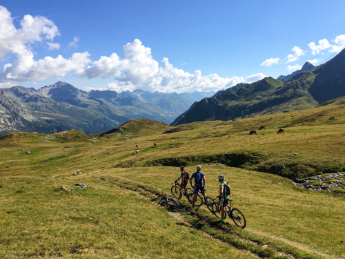
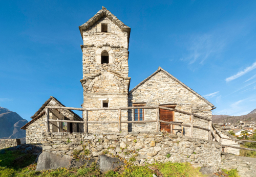
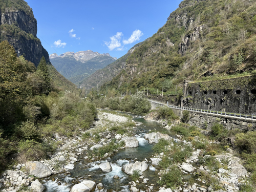
In the lower part, you can make a loop tour: each hamlet reveals admirable examples of stone architecture, frescoes, churches, oratories, and artifacts of peasant culture (wine presses, washing ovens, water wells). The second part of the route leads to the discovery of the sunken and uninhabited Isorno Valley, which retains the charm of a wild and inaccessible territory. To access it, take the only consortium access road that reaches the Agarina huts. With gravel or mtb bikes, you can continue for about 3.5 kilometers more to the Merlata pond.
In the attached: the complete description of the route, map and GPX tracks.
46.15119306707, 8.3098912239075
46.15119306707, 8.3098912239075
Nearby
Discover places, experiences and activities in nearby locations


