Road access
To reach the starting point, take the A26 motorway towards Gravellona Toce, leaving at the exit for Verbania. Follow the signs for Verbania/Locarno (Switzerland).
After the town of Intra, a hamlet of Verbania, continue on the SS34 highway to Oggebbio.
Description of the itinerary
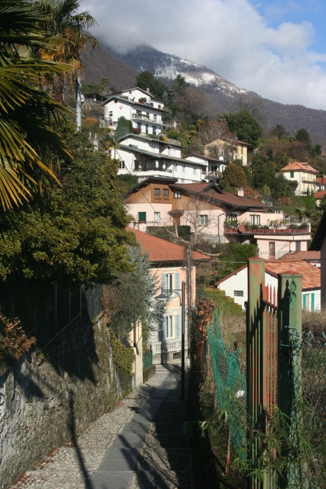
This route follows much the same way as route 1, but the point of departure and arrival is in the hamlet of Pieggio. This route is not very demanding and is a pleasantly varied course. As for the other routes proposed, it can be changed, shortening or lengthening it, thanks to the paths connecting the various routes (marked in red).
This can be done for all of the routes.
Notes
A map of the routes can be obtained from the offices listed here below or on the website of the municipality of Oggebbio section "Area Turistica".
Route design and certification: Scuola Interdisciplinare del Camminare ®
Tourist information
Oggebbio town council: Piazza Municipio 1 - 28824 Oggebbio
Tel. 0323 48123/491005 - fax 0323 491921
protocollo@comune.oggebbio.vb.it - www.comune.oggebbio.vb.it
Tourist Office of Cannero Riviera: Via Orsi, 1 - 28821 Cannero Riviera
Tel. 0323 788943 - cannero@distrettolaghi.it
DIRECTLY CONTACT THE TOURIST OFFICE OF CANNERO RIVIERA