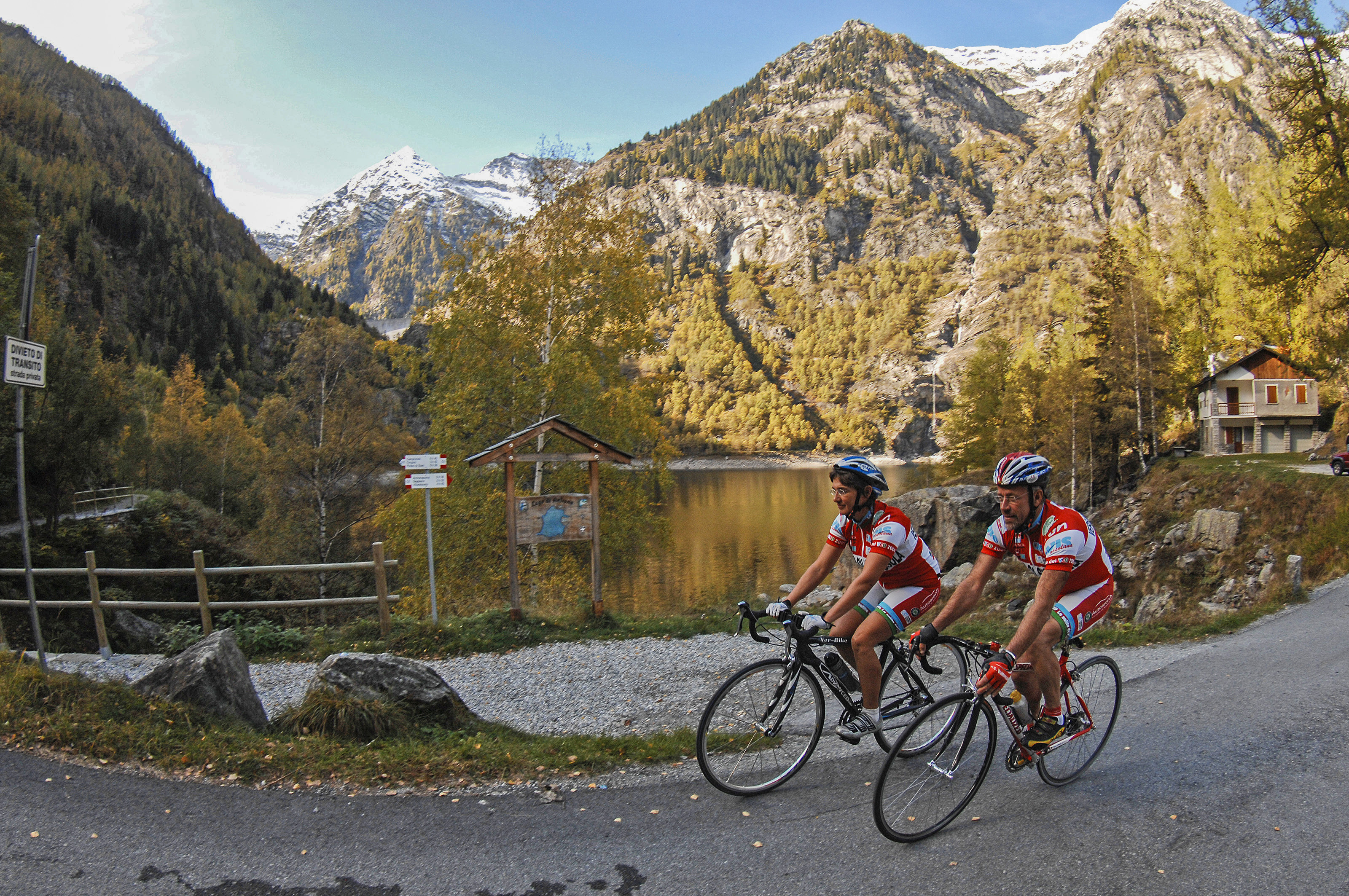
Run walk flag
Outdoor & Nature

BIKE TOURING: Lakes in the Antrona Valley/Cheggio-Antrona-Campliccioli

Valli dell'Ossola
29,00 km
Length
1 035 m
Difference in altitude
1-3 hours
Duration
Average
Difficulty

SEASON From May to October

The route begins at Antronapiana (900 m) and passes by the Parco Naturale Alta Valle Antrona (High Antrona Valley Natural Park) exploring the lakes of the valley.

You cross the village of Antronapiana and take the steep road with hairpin bends that passes Alpe Campo and climbs to the village of Cheggio and the lake of the same name (1498 m). After returning to Antronapiana, cross the river in the direction of the Via Crucis. Here you find the beginning of the old road that climbs to Lake Antrona, which is the best option as it is less steep. From Lago di Antrona (1100 m) continue through a long series of hairpin bends up to Lake Campliccioli (1350 m). After returning to Lake Antrona you drop from the other road that passes from Alpe Cimallegra to Antronapiana.

AUTHOR Alessandro Pirocchi

Live
Heavyrain
Heavy rain
28841 - Antrona Schieranco (VB)

46.0597705, 8.1147165

46.0597705, 8.1147165

Nearby

Discover places, experiences and activities in nearby locations

Run walk flag
Trekking

PATH SLOW TREK - Lake Antrona

Valli dell'Ossola
Run walk flag
Snowshoeing

PATH SNOW TREK - Alta Valle Antrona Nature Park: Cimallegra/Lake Antrona

Valli dell'Ossola
Run walk flag
Vie Ferrate (Assisted trails)

VIA FERRATA: "del Lago al Pizzo Andolla"

Valli dell'Ossola
Show theater masks
Museums

Museo della Milizia di Calasca

Tourist attractions