Outdoor & Nature
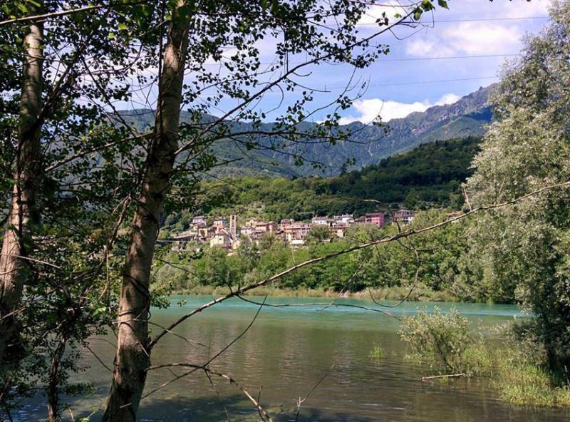
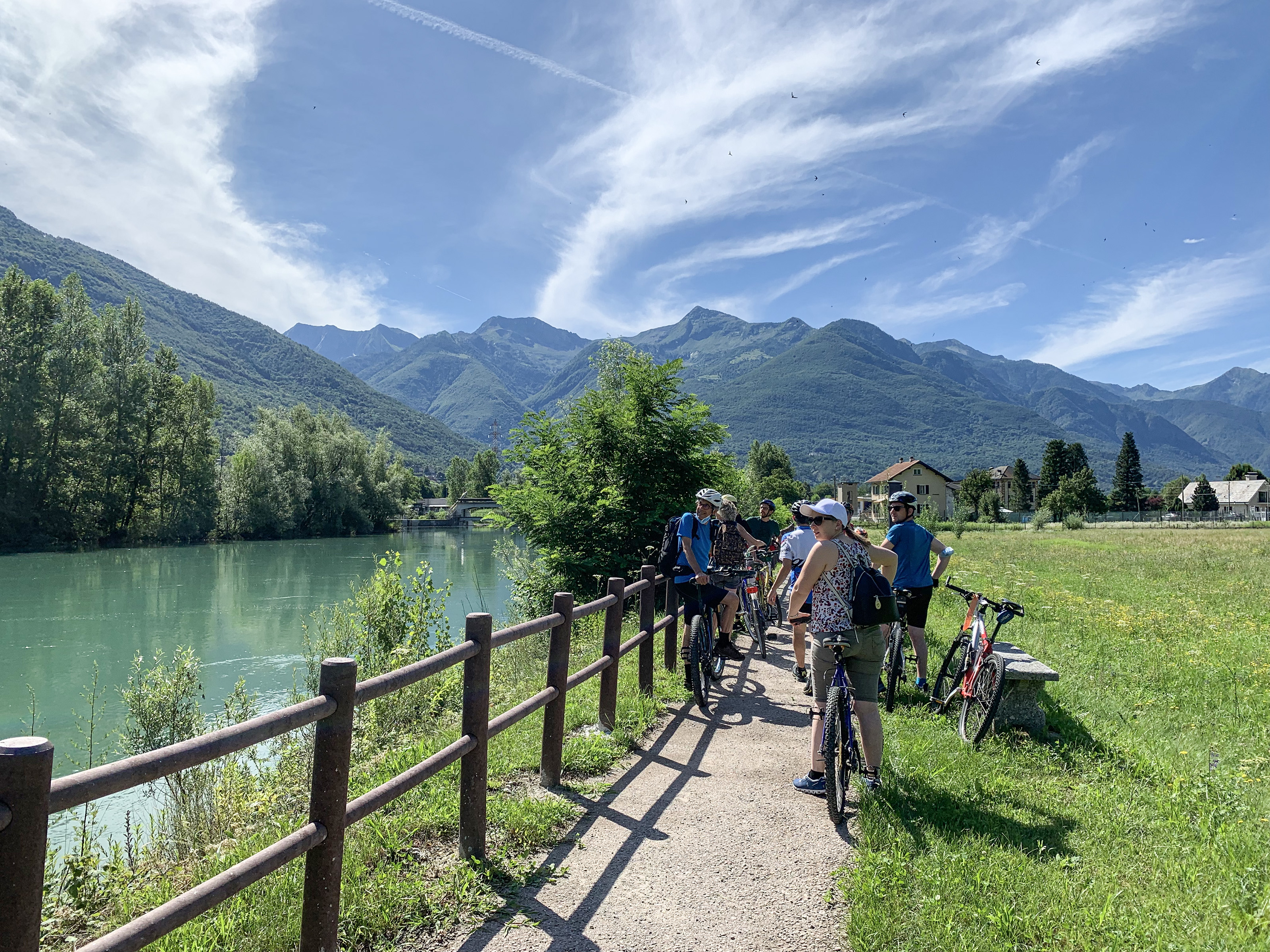
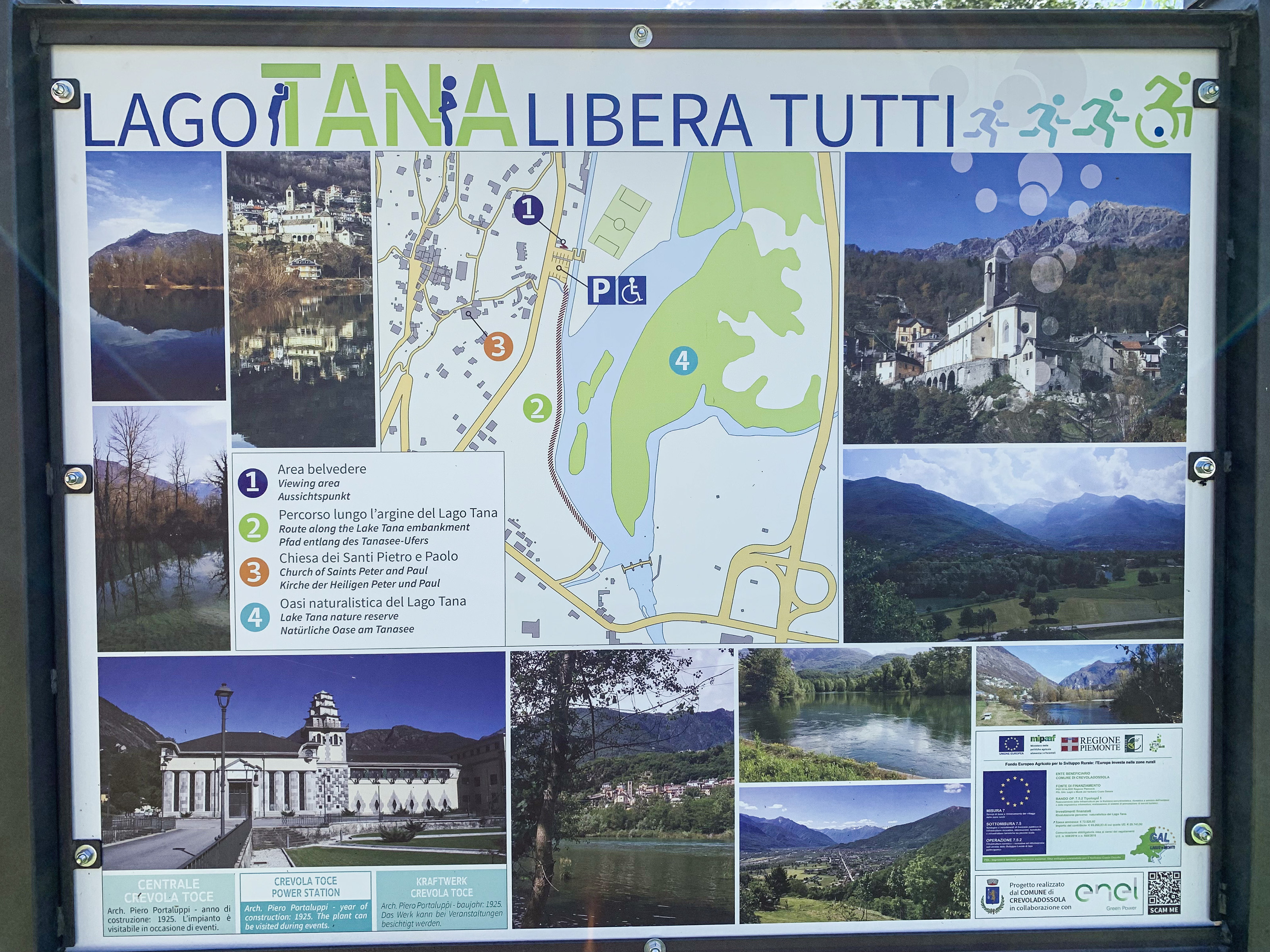
MTB ROUTE: Toce Cycle Path/Cycling along the riversides
Valli dell'Ossola
Clear sky
23,6°
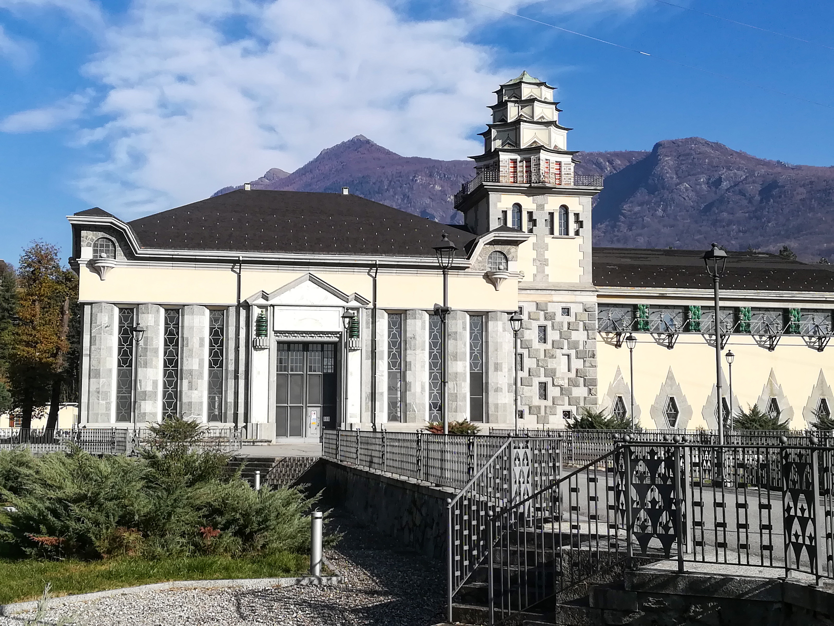
Nearby
Discover places, experiences and activities in nearby locations
Discover places, experiences and activities in nearby locations