Run walk flag
Outdoor & Nature

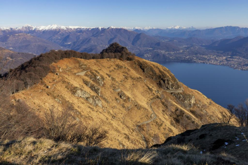
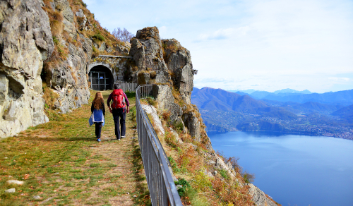
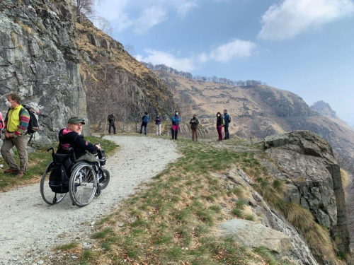
NORDIC TREKKING ROUTE: “Nordic Trekking Park” in Oggebbio - Route 8 - Manegra
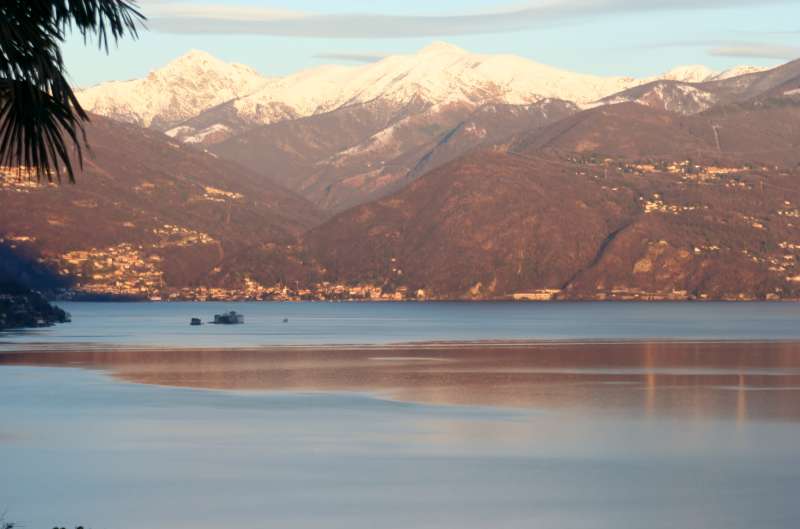
Lago Maggiore
7,10 km
Length
330 m
Difference in altitude
1-3 hours
Duration
Expert level
Difficulty

Description of the itinerary
The most demanding of the Nordic Trekking routes proposed. The effort required to climb the steep slope up to Pian Compra is compensated by the beautiful, panoramic views over much of the lake and surrounding mountains. The return route meets with itinerary No.7 just before Alpe Casola. Some stretches of the route may be covered with snow throughout the winter.

Notes
A map of the routes can be obtained from the offices listed here below or on the website of the municipality of Oggebbio section "Area Turistica".
Route design and certification: Scuola Interdisciplinare del Camminare ®

Tourist information
Oggebbio town council: Piazza Municipio 1 - 28824 Oggebbio
Tel. 0323 48123/491005 - fax 0323 491921
protocollo@comune.oggebbio.vb.it - www.comune.oggebbio.vb.it
Tourist Office of Cannero Riviera: Via Orsi, 1 - 28821 Cannero Riviera
Tel. 0323 788943 - cannero@distrettolaghi.it

DIRECTLY CONTACT THE TOURIST OFFICE OF CANNERO RIVIERA

Live
Fair day
Fair
10,1°
28824 - Oggebbio (VB)

45.9971537, 8.6286102

45.9971537, 8.6286102

Nearby

Discover places, experiences and activities in nearby locations

Run walk flag
Trekking

NORDIC TREKKING ROUTE: “Nordic Trekking Park” in Oggebbio - Route 9 - Piancavallo

Lago Maggiore
Run walk flag
Bike

MTB ROUTE: Slow Panorama/Along the Cadorna line of Verbano

Lago Maggiore
Run walk flag
Trekking

HISTORIC MOUNTAIN ROADS: Linea Cadorna: Piancavallo - Morissolo

Lago Maggiore
Run walk flag
Trekking

PATH FOR ALL – Trails in Nature: Piancavallo/Morissolo/Linea Cadorna

Lago Maggiore