Run walk flag
Outdoor & Nature

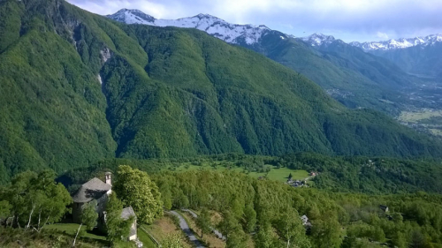
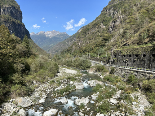
MTB ROUTE: River Toce MTB route
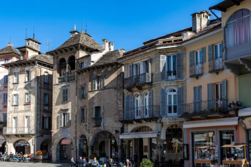
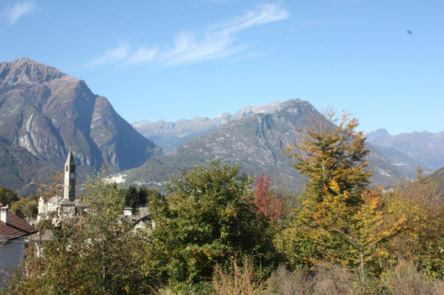
Valli dell'Ossola
53,00 km
Length
2 000 m
Difference in altitude
6-10 hours
Duration
Difficult
Difficulty

The Toce MTB Route, from Montecrestese/Crevoladossola to San Giacomo Pass, represents the main framework of the Antigorio Formazza Valley, from which the other routes branch. It runs up the valley through towns near the main roadway (SS659). The many accommodation and dining options along the valley allow you to choose the length of the legs according to your level of preparedness.
The Toce MTB Route takes on an international dimension in that it is the natural link between Domodossola and the St. Gotthard Pass while riding a bicycle. The proposed route follows, with some limited variations to avoid the steepest mule tracks, the SBRINZ ROUTE to Riale. From Riale, the route follows the beautiful road to the San Giacomo Pass. From the pass, we can descend into the Bedretto Valley to Airolo along the route 390 Alps Bedretto Bike promoted by Switzerland Mobile, which mid-coast touches the Alpe of Formazzora, Valleggia, Folera, Stabiello, Cristallina and Pescium.

In the attached: the complete description of the route, the map and GPX track.

Live
Heavyrain
Heavy rain
12,4°
28864 - Montecrestese (VB)

46.151356581482, 8.3102560043335

46.151356581482, 8.3102560043335

Nearby

Discover places, experiences and activities in nearby locations

Run walk flag
Bike

BIKE TOURING: Montecrestese and the Agarina valley

Valli dell'Ossola
Run walk flag
Bike

HISTORIC MOUNTAIN ROADS: Simplon Road

Valli dell'Ossola
Show theater masks
Villages

Domodossola - Small town of excellence

Mountains
Run walk flag
Trekking

PATH FOR ALL - Trontano

Valli dell'Ossola