Run walk flag
Outdoor & Nature

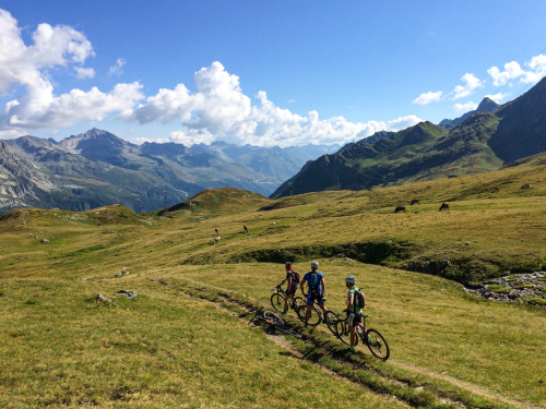
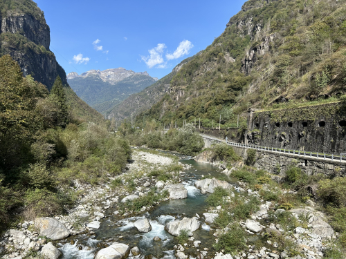
BIKE TOURING: Montecrestese and the Agarina valley
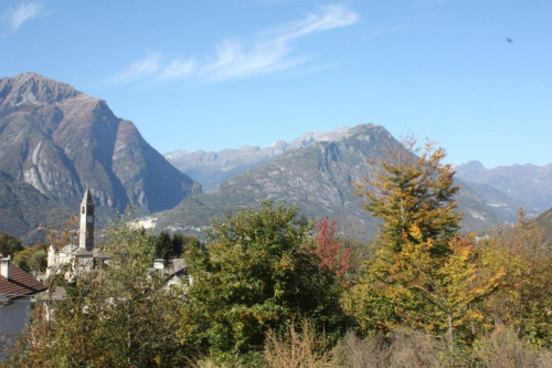
Valli dell'Ossola
32,00 km
Length
1 275 m
Difference in altitude
3-6 hours
Duration
Average
Difficulty

SEASON From May to October

A route to explore the villages of Montecrestese and of the wild Agarina valley. The route starts from the car park at the Montecrestese exit from the motorway. Following tarmac roads with low traffic you climb toward Montecrestese but before reaching the Church you turn right following the signs for Altoggio. At the beginning of the village turn left and starts to climb along the tarmac farm road (closed to vehicular traffic except for the farmers) that takes you from Altoggio up to Agarina. The road has some steep initial stretches and then continues halfway up the hill with gentle slopes and flat stretches up to Piedelpiaggio, then a series of steep hairpin bends (tarmac) lead to Agarina. From here you continue for another 3.3 km along a wide unmade path, recently constructed for a hydroelectric power plant project, which climbs further up the valley passing through Ponte Faugiol and reaches the small dam of Merlata with its small but attractive artificial lake. This additional section is reserved for mountain biking.

AUTHOR Alessandro Pirocchi

Live
Partlycloudy day
Partly cloudy
10,4°
28864 - Montecrestese (VB)

46.150268555113, 8.3220388

46.150268555113, 8.3220388

Nearby

Discover places, experiences and activities in nearby locations

Run walk flag
Bike

MTB ROUTE: River Toce MTB route

Valli dell'Ossola
Run walk flag
Bike

HISTORIC MOUNTAIN ROADS: Simplon Road

Valli dell'Ossola
Run walk flag
Trekking

PATH FOR ALL - Trontano

Valli dell'Ossola
Show theater masks
Villages

Domodossola - Small town of excellence

Mountains