Nordic Walking Park of Cannero Riviera: route 2
Excursion area
Cannero Riviera
Road access
To reach the starting point, take the A26 motorway towards Gravellona Toce, leaving at the exit for Verbania. Follow the signs for Verbania/Locarno (Switzerland).
After the town of Intra, a hamlet of Verbania, continue on the SS34 highway to Cannero Riviera.
Description of the itinerary
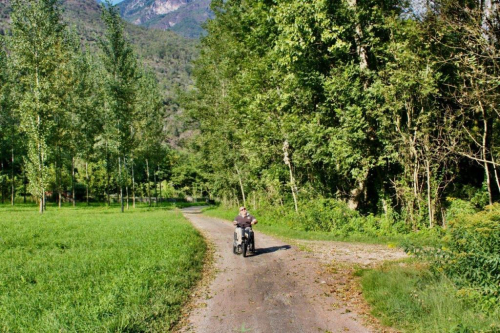
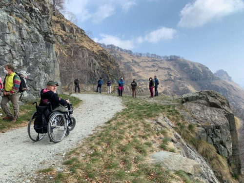
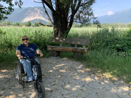
This route will lead you to discover three, enchanting hamlets of Cannero Riviera: Ronché, Donego and Cassino, mostly along fairly easy stretches (except for a few brief uphill/downhill sections) and offering great views. On the stretch along the national highway proceed on the mountain side of the road to the pedestrian crossing.
Notes
A map of the routes is available from the Tourist office at Cannero Riviera.
Route design and certification: Scuola Interdisciplinare del Camminare ®
Tourist information
Tourist Office of Cannero Riviera: Via Orsi, 1 - 28821 Cannero Riviera
Tel. 0323 788943 - cannero@distrettolaghi.it
Nearby
Discover places, experiences and activities in nearby locations